River cycles: writing the history of Australia’s waterways

I spent a large part of the last two years driving, and an occasionally boating, along Australian rivers trying to understand our waterways for a book commissioned by the National Library of Australia. They asked for 10 rivers. In the end I explored nine and a river system – the Channel Country of central Queensland – in order to say something about our understated relationship to waterways of this country. I knew little about rivers when I started and quite a bit more at the end. But, as is often the case, the more you know about something the more you realise how much you don’t.

Australia’s rivers and creeks are complex; often dry, sometimes in flood, little like the perennial waterways of Britain and Europe well fed by rain and snow. They confounded the newcomers who colonised the land through the 19th century but were understood by the hundreds of Aboriginal groups who had established territories around these ribbons of life-giving water over thousands of years.

Murray River at Barmah Forest, 2016

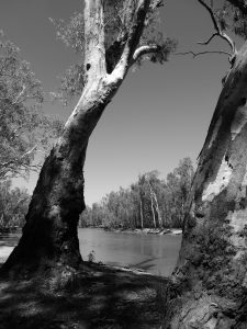
I found one of the most poignant accounts of the European sensibility in Jill Ker Conway’s much-loved memoir The Road from Coorain, a story which begins on the author’s family pastoral property in far western New South Wales. Conway recalled the ‘magical’ transformation of the creek beds when the rains came: ‘Bull rushes shot up beside watercourses and the suddenly there were waterfowl round about… Trees sprang up as the waters receded around our house’. (p.32) The transformation suddenly made it clear why the first people there built their earthen ovens where they did. Norman Tindale’s 1940 map of ‘Aboriginal Tribes’ shows this as Barindji land. Over millennia they had learned the lines of non-perennial creeks and useful waterholes, and consequently where the animals and edible plants would be found. For Conway it was a revelation.

The converse of the interloper’s imagination – that inside knowledge of Aboriginal people – is expressed in Alexis Wright’s novel Carpentaria, set around a fictitious but plausible river in Australia’s far north Gulf country: ‘It takes a particular kind of knowledge to go with the river, whatever its mood’, she writes, ‘It is about there being no difference between you and the movement of water as it seasonally shifts its tracks according to its own mood.’ The usurpers couldn’t read those moods and built a town on the river banks, tellingly named Desperance. The river destroyed it, ‘just like that’. (p.3) It made me think of Gundagai, wiped out by the Murrumbidgee River in 1852.

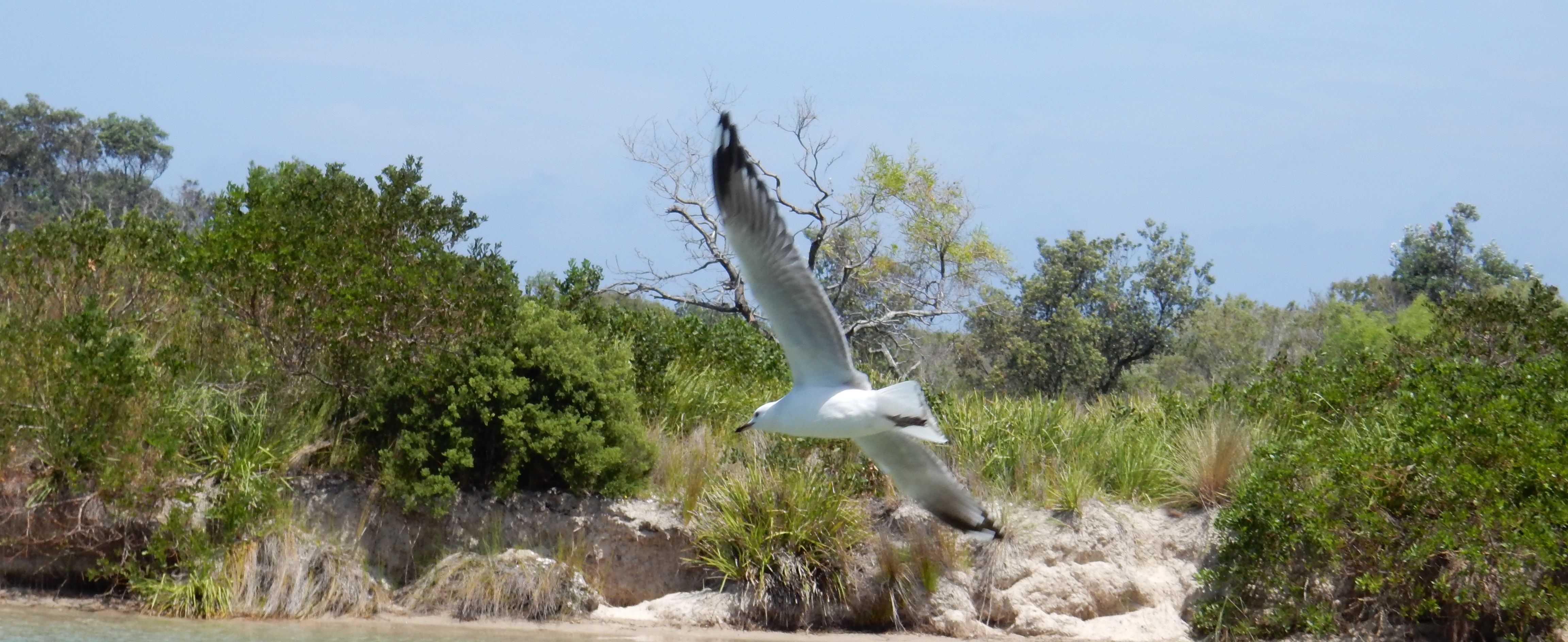
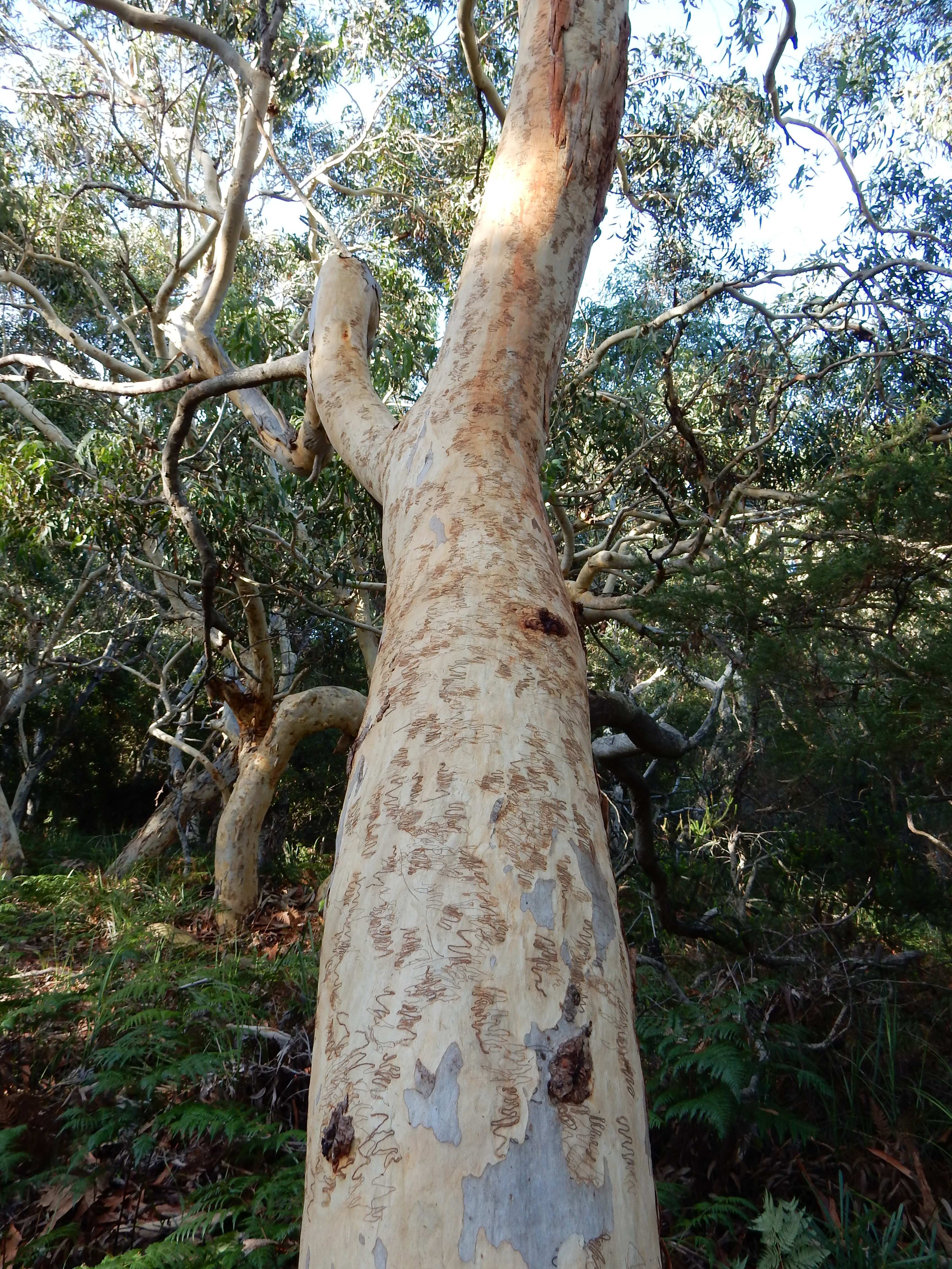
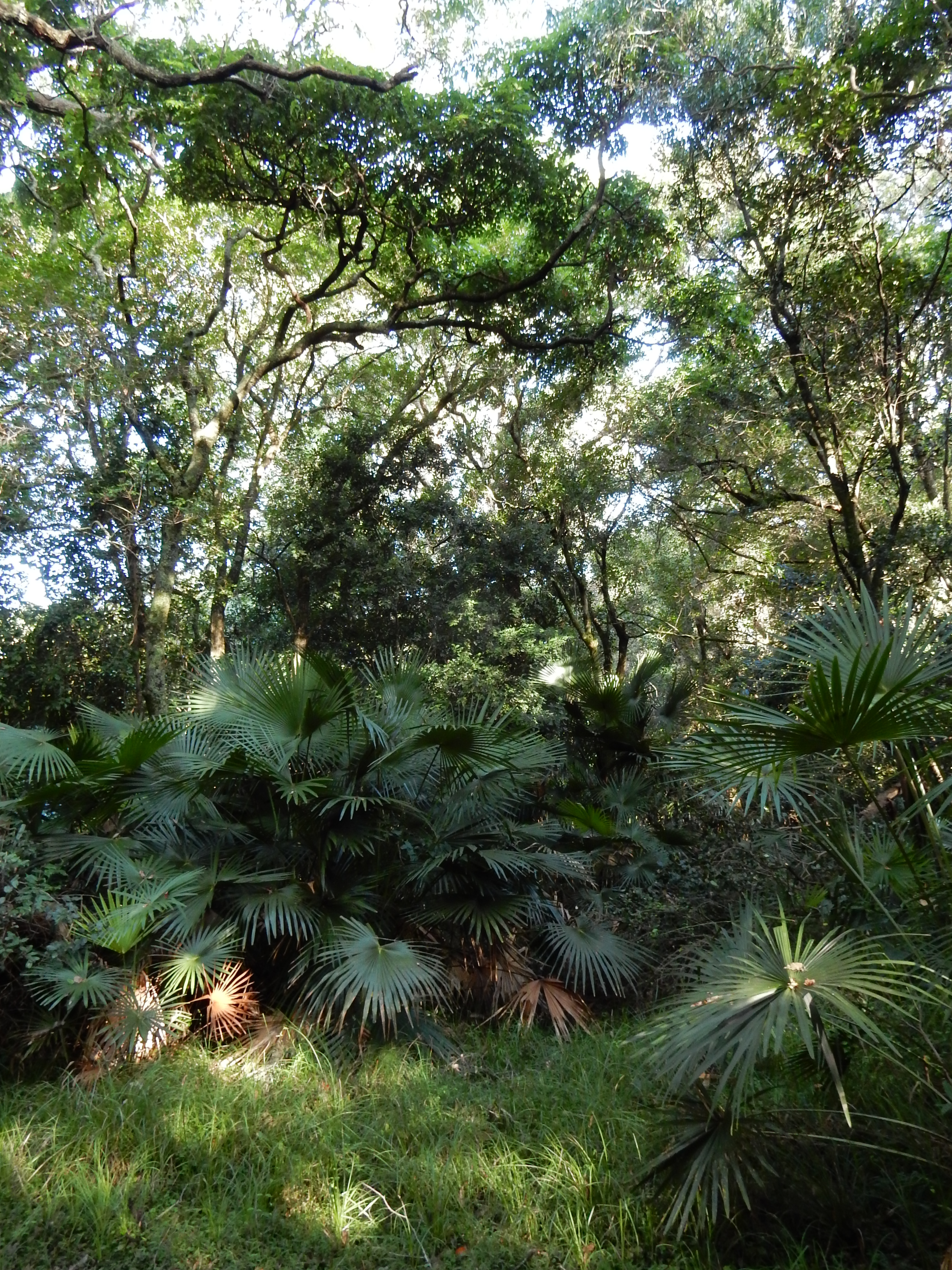
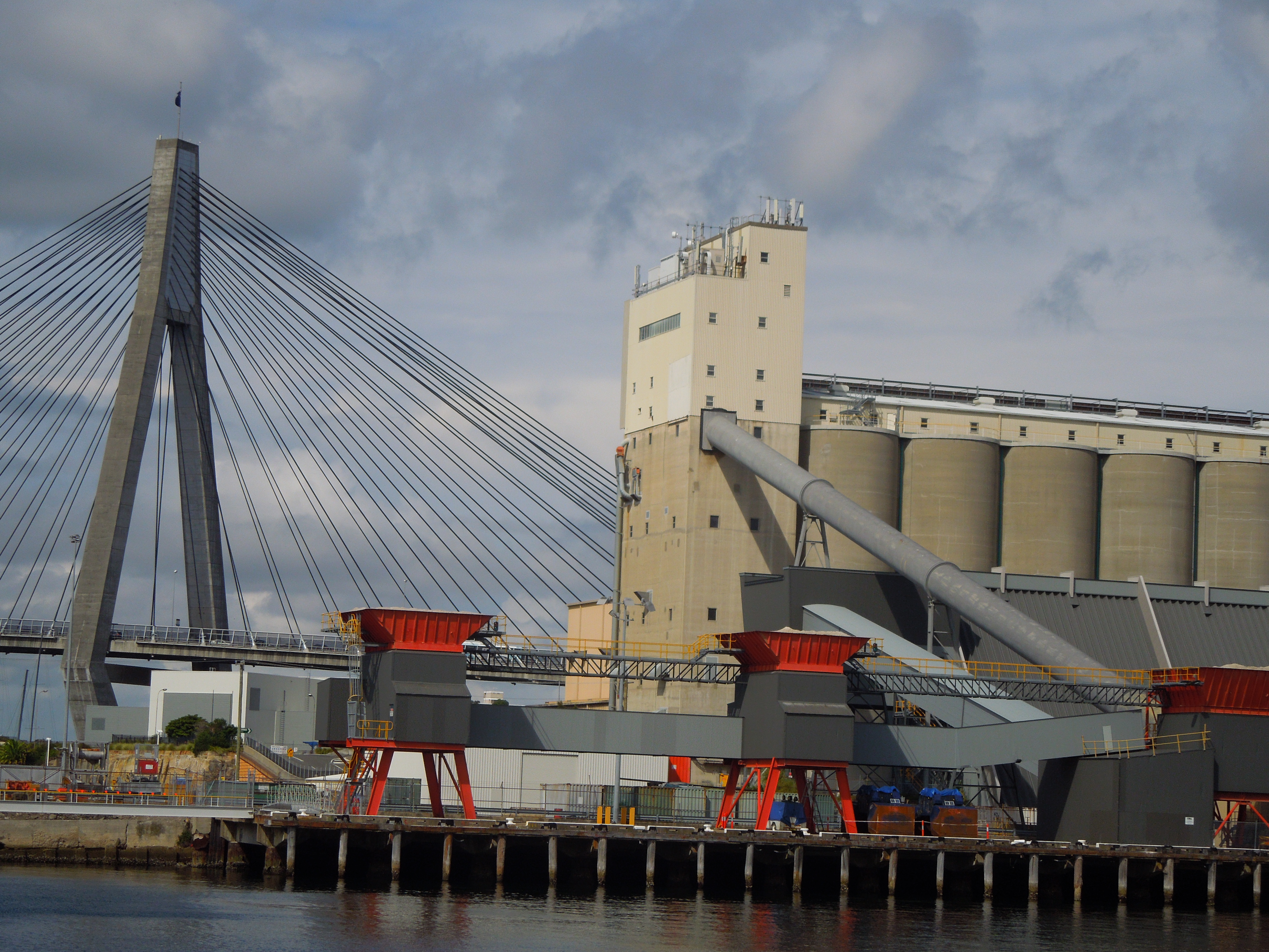
My first stream was the Clarence which floods but never runs dry, at least in its lower reaches. This was the proverbial ‘big river’ of colonial accounts, a waterway that most resembles those big streams of immigrant memories; the biggest on the Australian east coast. Paddle steamers easily splashed up and down it from the earliest years of white occupation, first in search of the beautiful Red cedar (Toona ciliata), then to take up land for cattle and cane; sugar was easily planted on the wide river flats. Therein lies a lesson in the significance of topography for understanding history. In the process the great tangled well-watered forests and marshes that had sustained the Bundjalung, Gumbaingirr and Yaegl people for generations were cleared and drained.

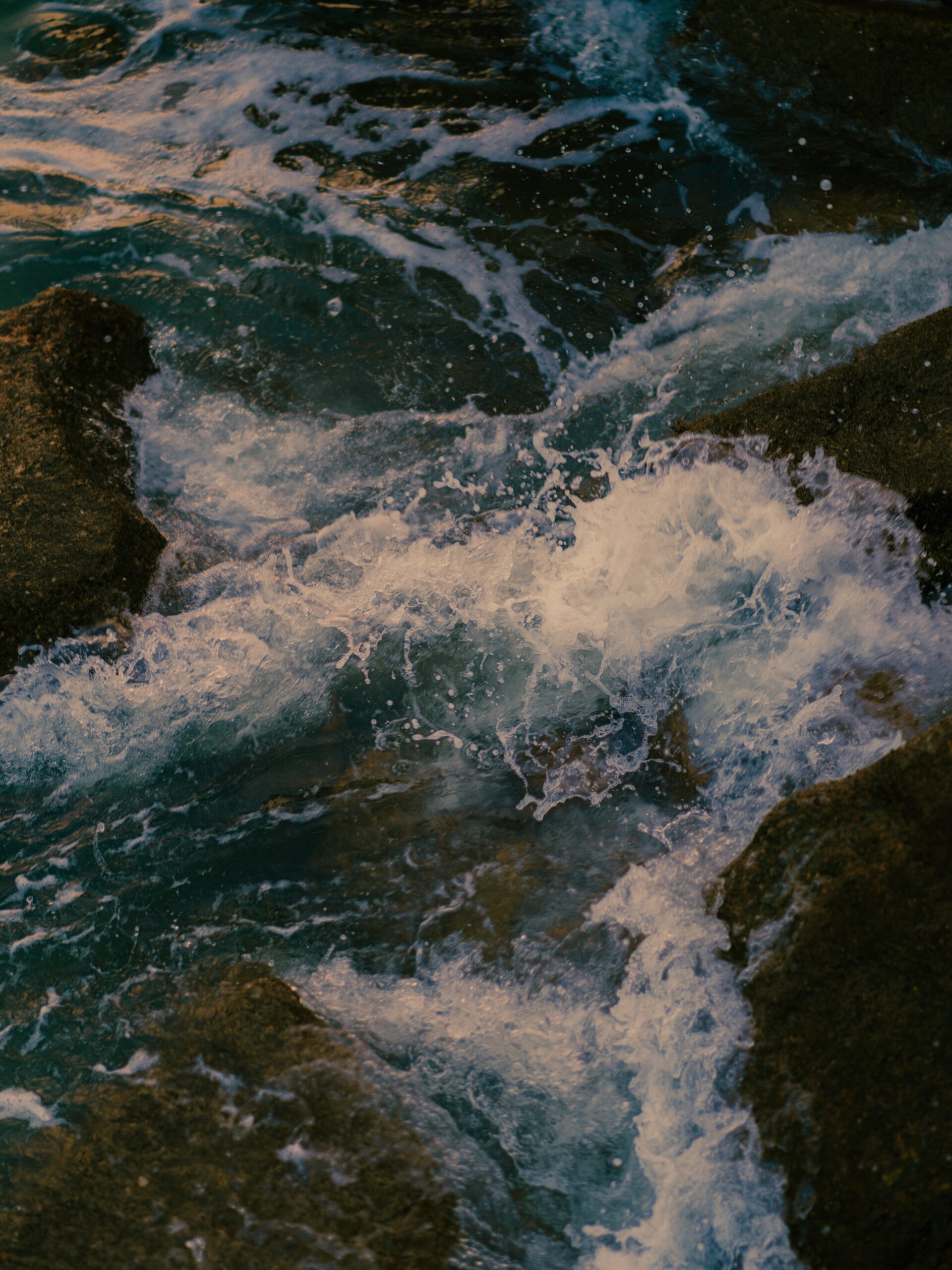
For 40 kilometres or so the river is an estuary – what the geographer Colin Woodroffe has evocatively described as a ‘tongue of the sea reaching inland’. Sharks, dolphins, eels, prawns other marine creatures all move backwards and forwards along the ‘tongue’ between river and ocean.

Wreck of a launch and egret on the Clarence River near Grafton, 2016

An estuary is always a transitional place. And that gave me the theme for the Clarence chapter. Shifts both ecological and cultural have been so much a part of the history of the waterway. The shift from Aboriginal to European occupation is an obvious example of the latter; a transition of course brought about the force of colonial power rather than negotiation or treaty, as was the case across the country. The transformation of the ecology of the riverfront is obvious to anyone who has seen photographs of the pre-colonial forests around the Clarence. The historian Alfred Crosby famously coined the term ‘ecological imperialism’ to describe the transfer of plants and animals across the globe as Europeans colonised lands far and wide. Beautiful though they may be, the pastures and farm animals around the Clarence River are also manifestations of ecological imperialism.

The story of prawn fishing throws up another less obvious example of the link between social shift and ecological change. The Clarence is home to the largest fishing fleet on the north coast of New South Wales. Those vessels that trawl for prawns do so in the river and outside the heads. Their quarry are the school and king prawns. The local catch is high quality and commands good prices locally and in the insatiable Sydney market. And so it should – though it may sting the pocket on occasion I take solace in paying a real price – in this case for a wild resource that is sustainably managed.

A prawn fisher checks his nets before heading out on the Clarence River, December morning in Maclean, 2016

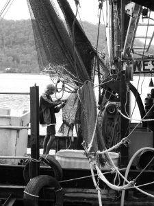
Fishing represents the last wild harvest in modern societies; because it is only in the sea that large numbers of un-farmed animals survive to be caught. But there is a threat to this wild catch in the Clarence – white spot disease. The source is cheap uncooked prawns imported from Asian farms, intended for human consumption but used as bait by recreational fishers. Infected raw prawns had a dramatic effect on the prawn farms of Queensland. Commercial fishers around the Clarence watch nervously for signs of the disease in wild stocks there.

Recreational anglers are being implored not to use the green prawns as bait and fines have been introduced if they are cast near river prawn farms. The competing interests of prawn farmers, wild fishers and recreational fishers are real and I suspect not altogether reconcilable. The estuarine tides of the Clarence are more than ever part of a global flow of organisms. I hope the information campaign works for the sake of the prawn fishers and the Clarence itself.

My book comes out next year.

Share

On rural relics: the story of an Australian pump and an English engine

There’s a particular poignancy to abandoned rural equipment. Whenever I see a plough, cart, ripper, or tractor rusting away in a paddock, I wonder about its working life. Who bought it, when and why? Where was it made and how did it get to its final destination? Was the owner filled with optimism when they built or acquired it? Did it represent a significant financial commitment and, if so, did it repay that effort or outlay? Why was it left to rot or rust?

A yard of relics near Rocky Creek New England. Photograph Ian Hoskins, 2014
A yard of relics, Rocky River area New England. Photograph Ian Hoskins, 2014

Some part of the history of Australian rural endeavour is embedded within each relic. But provenance – the object’s biography – is lost if there is no longer anyone who knows the answers to these questions.

Sometimes, however, a manufacturer’s plate can also reveal a story. Recently I paid attention to an old pump sitting beside a small dam on a property between Armidale and Grafton. The plate showed that it the engine was a 3.5 horsepower diesel, capable of 1800 rpm, made by Lister in Dursley, England. I haven’t been able to date this engine precisely but it seems to be an “LD” single cylinder model and I’m guessing it’s a post-war make.

The Lister maker's place. Photograph Ian Hoskins 2016
The Lister maker’s plate. Photograph Ian Hoskins 2016

Established in 1867, Lister was an important part of British agricultural and manufacturing history. Its petrol and diesel engines powered countless machines for dairying, shearing and other work. In 1986 they were merged with competitor Petter Ltd but the name lives on with the Lister Petter engines which are still manufactured in the UK and still painted in the traditional green livery of early Lister engines.

Lister also played a big role in Australian agriculture. After 1909 they built shearing machines designed by Australian Jim Davidson. From 1929, when the first Lister 9-1 was built, thousands of their stationary diesel engines were imported and distributed across Australia –   especially to dairy farms where moving water was so important.

The company embodied the ‘crimson thread of kinship’ that tied Australia to Britain for nearly 90 years after Henry Parkes coined that phrase in 1888. Britain was this country’s major market for primary produce and its major supplier of manufactured goods. While the new Commonwealth Government embraced protection for local industry in the early 1900s, Listers enjoyed the preferential tariff which applied to ‘goods of British origin’ that operated from 1932 under the United Kingdom/Australia Trade Agreement [UKATA]. In return Britain gave preference to Australian produce. The loyalty established within Empire meant a great deal before Britain entered the European Common Market in 1973 which marked the end of UKATA.

The 1932 agreement was struck in the worst year of the Great Depression. Competition with British goods made in a larger central market with many more years behind them was surely tough. Lister engines competed with those built by Australian firms such as Kelly and Lewis and Harris Scarfe and Sandovers.

The diesel and its pump. Photograph Ian Hoskins 2016
The diesel and pump in their final resting place. Photograph Ian Hoskins 2016

There were 153 agricultural factories in Australia in 1915, but only 148 in 1930/31 and 139 in 1935. South Australia was hardest hit. That said there were 4,202 people employed in the industry in 1935 as opposed to 3,606 in 1915 and the output then was nearly £2 million compared to £1,300,000 twenty years earlier. It seems that those firms which survived were productive. When the worst of the Depression had passed, the number of factories increased. There were 161 in 1938. The post war years were better still for agricultural manufacturers in Australia. There 257 factories in 1951, despite competition from the likes of Lister.

Lister machines were distributed here by a company of equal reputation and even greater longevity, Dangar, Gedye and Malloch [DGM]. That firm was established in 1838 and became associated with Lister in 1909 when they distributed Lister shearing machines designed by Australian Jim Davidson. They had had the agency for Wolseley shearing machines – made in Ultimo / Pyrmont – since 1893. The name Dangar is itself inscribed on our landscape thanks to the patriarch of the family Henry Danger who explored, surveyed and then selected thousands of acres – Dangar Falls and Dangar Island in New South Wales are named after him.

By the 1930s DGM had a century of history behind them and declared confidently that they could provide ‘Every machine for the Man on the Land’. Under the management of Robert Malloch, the company survived the Depression and expanded in the post war years – following the pattern of the Australian agricultural machinery industry.

Danger, Gedye and Mallock 'Nevertire' pump. Photograph Ian Hoskins 2016
Danger, Gedye and Malloch ‘Nevertire’ pump. Photograph Ian Hoskins 2016

Indeed the pump that is hooked up to the aforementioned Lister diesel is a Dangar, Gedye and Malloch ‘Nevertire’ machine. That was the stoic trademark that identified DGM’s own products which, I think, were built in Ultimo. Both the company name and the brand ‘Nevertire’ were proudly cast into the metal casing of the pump.

Lister and DGM were family-based firms. Lister was part of the English tradition of paternal capitalism – like Lever Brothers and Cadburys. For his part Robert Malloch epitomised the wise, honest Australian business patriarch. His two sons were also Directors of the company. Despite DGM’s association with manufacturing, Malloch believed Australia’s prosperity was bound up in its primary industries. When he died in 1951, the regional press noted the passing of a friend to the ‘man on the land’.

It was no coincidence that both firms were taken over in the 1960s. Then markets, economies and the way of doing business were changing. Hawker Siddeley acquired Lister in 1965 and Frigrite bought DGM in 1961, concentrating on the refrigeration side of the business at the expense of the rural machinery. The trademark ‘Nevertire’ lapsed in 1966.

The English-made engine and Australian ‘Nevertire’ pump that caught my eye sit silently side by side. The backstory is lost but they are a reminder both of an Imperial partnership that was once loomed large in Australian agriculture, and of the historical links between this country’s manufacturing and rural industries. A poignant pairing.

Share

On nostalgia, suburbia, and keeping the bush at bay on the NSW south coast

I recently had a holiday break at a favourite coastal place near Jervis Bay. It was one of the spots that got me thinking about the history of our coast a decade or so ago after many stays.

Silver Gull and south coast heath. Photograph by Ian Hoskins 2016

Like most other places within three hours of Sydney, this little town is now well and truly on the holiday map for city folk so, by the time I got around to organising things, it was impossible to rent anything in the streets that I’m familiar with – wide ones with big blocks and old relaxed fibro.

But staying in a different part of town gave me another insight into the place. For the first time I was down on the main entry thoroughfare. My rental was a small bungalow – probably original fibro but reclad out front and so ‘coastified’ within it was a bit like a inhabiting a mini theme park. There were framed surf photographs from the Australia’s ‘longboard days’, not one but two longboards squeezed in as decorations, various bits of ‘word art’ telling me to ‘relax’ and so much artfully arranged driftwood and shell that it was difficult to find a spot for sun cream and keys.

White Australia’s collective love affair with the coast is, I have argued, only a little over a century old. But within that timeframe there are enough generations of accumulated memory to generate an aesthetic of somewhat mawkish nostalgia both generic in its bleached beachiness and specific in its references to the history of Australian surfing.

Judging by the amount of mowing and edging going on around my little shrine to modern coast culture, I guessed this was the centre of the owner-occupied – rather than rented – part of town.

The intensity of the grass trimming was intriguing, even if the noise was incessant. I was immediately reminded of Allan Ashbolt’s pessimistic portrayal of Australian suburban life which appeared in the literary journal Meanjin in 1966, part of a symposium called ‘Godzone’ exploring aspects of ‘God’s own country’ as Australia was sometimes described:

Behold the man – the Australian of today – on Sunday morning in the suburbs, when the high decibel drone of the motor-mower is call the faithful to worship. A block of land, a brick veneer, and the motor mower beside him in the wilderness – what more does he want to sustain him.

Trimming an already trim garden, south coast NSW. Photograph by Ian Hoskins, 2016

Ashbolt was a man of the intellectual left. For him the lawn mower was, in effect, the intrusive machine in the Edenic garden of Australian radicalism. Like the surburbia it helped to maintain, the mower reflected a deadening quest for conformity and respectability that was consuming Australian working ‘men’. It, and the gardens it created, sat counter to the labour movement led reform that had made this country one of the world’s most progressive societies – in class terms at least. The ‘motor-mower’ was a manifestation of false consciousness.

The manicured lawn also annoyed a contemporary of Ashbolt, the architect and social commentator Robin Boyd – but for aesthetic and cultural rather than political reasons. In his classic 1960 jeremiad, Australian Ugliness, Boyd wrote despairingly that ‘progress is measured by the number of acres transformed from the native state of sloppiness [ie natural bush] to the desirable state of clipped artificiality’. Boyd used the term arboraphobia to describe the contemporary attitude to native vegetation echoing, in turn, the blunt observations of historian WK Hancock who in 1930 wrote that white Australians ‘hated trees’.

Scribbly Gum (Eucalyptus haemastoma) Jervis Bay. Photograph by Ian Hoskins, 2016

In recent decades the Australian suburb has been embraced by a less judgmental intelligentsia who see creativity and an authentic democratic culture expressed there. In terms of gardening there could be a degree of nostalgia here too. For the new suburbs of Sydney, at least, pay little heed to the need for private gardens. Bloated houses spread over as much of their respective blocks as planning laws permit. Shrubs are a low maintenance ‘designer’ afterthought. So anyone nurturing or growing anything outdoors must be a good thing. In this context, the well-tended blocks of Ashbolt and Boyd’s suburbia, or indeed present-day south coast settlements, could be examples of ‘creative suburbs’.

I must admit, I felt the power of nostalgia as I sat and watched the passing parade from the front of my little ‘temple’. Not wistful for the trim gardens outside or the surfing past celebrated inside but for the casual freedom of this re-creation of old suburbia. This little town is a place where people ride bikes without helmets and where children roam unsupervised. I suspect my  nostalgia was shared by the parents who bring their offspring here to delight in letting them head off to make their own fun away from scrutiny and electronic devices – just as they did ‘back in the day’. In the context of contemporary life, this old ‘suburbia’ is an added attraction of the modern coast holiday.

Yet the apparent casualness sits at odds with the obsessive pursuit of neatness and all the effort and the noise generated to create it. So while I wince a little at the stridency of Ashbolt and Boyd’s attacks from on high, the starkness of the ‘clipped artificiality’ of these coast gardens is still bewildering.

Cabbage-Tree Palm (Livistonia australis) endemic to semi-tropical rainforest, Jervis Bay. Photograph by Ian Hoskins 2016
The threatening ‘sloppiness’ of the bush. Cabbage-Tree Palm (Livistonia australis) endemic to semi-tropical rainforest, Jervis Bay. Photograph by Ian Hoskins 2016

There is a sense of place reflected here. But it seems to be one in which manicured gardens and trim facades are constructed as psychological and perhaps real bulwarks against the surrounding native forest and heath – a buffer of order where all beyond is alien disorder just as Robin Boyd suggested. Stranger still is the prevalence of the cultivated plants that evoke other coasts; Cocos Island Palms, exotic Hibiscus from Hawaii and Pandanus from the north. This is a confounding relationship to place and beauty for it suggests a need to sit apart from one’s habitat rather than within it. There is a need to make this specific place – glorious though it is – conform to some generic postcard version of ‘coastiness’ just as the décor of my holiday house did.

I was awoken on the last day of my break by the high decibel drone of a ‘whipper snipper’ outside my bedroom window. It was wielded by the owner, clearly offended by a few wisps of grass and oblivious to the possible annoyance his noisy obsession might cause. It was a Sunday morning. Allan Ashbolt would have felt vindicated and I was decidedly not ‘relaxed’.

Share

The Lords of Barangaroo

I’ve been looking through my mess of newspaper cuttings on the Barangaroo development in Sydney’s Darling Harbour. Eight years’ worth, minus a couple of articles that my rabbit chewed during a period of accidental incarceration in the study – he’s a survivor. My incomplete archive of newsprint doesn’t quite extend back to the original design competition in 2006 but it gives a pretty good outline of the extraordinary convolutions in this project. If anything gives credence to the clichés about the fundamental connect between Sydney development and big money, Barangaroo is it.

Barangaroo from the water with headland park on the left and construction still underway on towers to the south. The Packer tower will sit between. Photograph by Ian Hoskins 2015
Barangaroo from the water. The northern end headland park with the doomed port control tower can be seen on the left. Construction is still underway on towers to the south. The much larger Packer tower will sit between – the city’s tallest building. Photograph by Ian Hoskins 2015

Currently billionaire James Packer’s ‘unsolicited proposal’ for a 275 metre tall tower is being considered as Modification No. 8 – or just ‘Mod 8’ as it has become, shorthanded at the end of a growing list of alterations. The City of Sydney’s lengthy submission opposes the proposal in tight clear language that nonetheless conveys a sense of bewilderment at the ongoing ‘planning creep’ which has seen a hotel appear over the water (Mod 4), then disappear, then reappear in a much larger incarnation replete with casino and apartments – all encroaching upon public recreation space in the middle section of the project. Apparently this is part ‘concession’ to public complaints about a hotel built on the harbour and part ‘necessary’ adjustment for financial viability after the extraordinary push of the envelope four modifications earlier.

Packer has long argued that a high end casino is essential if Sydney is to compete for the growing Chinese tourist dollar. And apartments in this tower are estimated to sell for up to $100 million – figures that might also tempt the new Asian oligarchs. Concept drawings show a glass shard that would be at home on the waterfronts of Hong Kong or the Middle East where the display of wealth and power has complete sanction. Packer’s interest is, we are to assume, equal to the national interest.

There has been much talk about transparency throughout the planning of the place, but just how it came to this is still not clear to me.

That is the unfinished story of built Barangaroo which occupies the middle and southern end of the precinct. The tale of the ‘headland park’ to the north, on the other hand, is mostly over – it opened to the public on 24th August this year. But that, too, has been a drama. The original winning entry from a group led by Philip Thalis back in 2006 began with the idea that the existing shoreline, which was then a flat apron of concrete built to accommodate shipping containers in the late 1960s, was to be respected as an erstwhile working waterfront. There was green space, some of it tiered, but this was obviously a modified angular landscape.

The Thalis design was, however, superseded in both its landscaped and built elements in an opaque process that saw buildings get bigger and parkland rearranged, much to the disappointment of many. The Barangaroo Action Group was one manifestation of this discontent. It had formed by 2010 to protest the changes and encourage citizens to help ‘Stop the Plunder of Sydney Harbour’ by telling the Government to retain a plan for the place ‘in keeping with the originally approved concept’ (Sydney Morning Herald, 8-9 May 2010).

It was design enthusiast and former Prime Minister, Paul Keating, who did most to alter the angular parkway so as to create a ‘naturalistic’ park. As Chair of the Barangaroo Design Excellence Review Panel that had apparently embraced the Thalis scheme, Keating nonetheless convinced the State Premier Morris Iemma to reinstate the headland that ‘man, through industrialisation, took away’ (Sydney Morning Herald, 9-10 August 2008). That was back in 2008. The new place was dubbed Barangaroo after the strong-willed Aboriginal woman described with rare clarity in colonial accounts; along with her husband Bennelong after whom the point which came to accommodate the Sydney Opera House was named. By intent or otherwise the two places were thereby related as dichotomous points on either side of Circular Quay – man/woman, husband/wife, culture/nature.

Keating continued to guide the park design despite resigning from the Review Panel in May 2011, furious at criticisms about process and scale from Sydney Lord Mayor Clover Moore, whom he dismissed as the representative of ‘sandal-wearing muesli-chewing bike-riding pedestrians’ – self-evidently the most undeserving of constituencies (Sydney Morning Herald, 7 May 2011). Upon the opening of the park in 2015, Keating argued that the resulting park would not have been possible within the confines of the planning process. It took his vision and ‘horsepower’. For that single-mindedness the Herald dubbed him ‘The lord of Barangaroo’ (Sydney Morning Herald, 22-23 August 2015).

Mr Keating is renowned for bold, and sometimes bizarre, hyperbole (by definition pedestrians don’t ride bikes). At the opening of the park in August this year he reportedly claimed that the newly landscaped space would Sydney’s best example of a harbour headland ‘before European settlement’ (Sun Herald, 23 August 2015). Allowing for the gradual growth of the trees and shrubs at Barangaroo – it is currently quite a stark park – that is an extraordinary prophecy. Barangaroo will never match the thick Angophora forests of Bradleys Head and Berry Island (now joined to the mainland to create a headland). Even Balls Head, the oldest plantings on which only date back to the 1930s, is more indicative of the pre-colonial foreshore. Though the jury seems to be out on the extent of Aboriginal burning – ‘firestick farming’ – around the Harbour, controlled burning at Balls Head and on Berry Island has approximated any pre-European landscape subjected to such a regime.

The Reserve is, in fact, a highly structured landscape. It is obviously terraced and the foreshore is lined with square cut blocks of sandstone, albeit stone obtained from the site. The waterline of the Point does now resemble the earliest charted foreshore but it is much less steep and the trees, a mix of eucalypts and figs, are not representative of the range or density of the original growth. To have replicated that would, of course, have compromised the all-important views. And then there is the curious inclusion of a formal grove of deciduous exotics near Hickson Road – what I took to be London Plane trees but which may be some of the North American Honey Locusts that have raised eyebrows among the horticultural community, not least because the plant is classified here as a weed.

The foreshore blocks and terraced plantings of Barangaroo. Photograph by Ian Hoskins, 2015

For a man who emerged from the political labour movement in Australia, Paul Keating has a curious dislike of industrial heritage. Had the site of Barangaroo retained a vestige of the early colonial Georgian architecture he admires, Keating’s desire for a natural headland might have been curbed. But the structures of the early 20th century have no place in his aesthetic view. Indeed, years ago Keating argued for the demolition of the Woolloomooloo finger wharf – something many regard as a beautiful combination of graceful form and function. As it is, the finger wharves of East Darling Harbour  – today’s Barangaroo – were demolished for the concrete container wharf of the early 1970s. The Maritime Services Board tower which sits atop the new park is all that is left of that era and, therefore, is slated for demolition – a particularly egregious eyesore in Keating’s estimation.

When the tower goes Sydney Harbour will have lost yet another skyline element of its industrial/commercial heritage – one to follow the erstwhile hammer head crane at Garden Island. While there was probably no way to adapt that structure for other uses, the tower is reusable as a viewing platform – one with a far more organic connection to place than the truly ugly faux spinnaker lookout built on the waterfront at Portsmouth. It is contemporary with the Opera House and represents the last incarnation of an historic working harbour, just as the gleaming shells on Bennelong Point symbolise a post-industrial waterway.

The area adjoining Barangaroo is already being emptied of its working class constituents as the government-owned terraced housing, originally built to accommodate waterside workers, is sold off.

Of course the view from Barangaroo headland is wonderful – and free. However,  the social context of the park is shifting. It certainly won’t be the next hipster mecca implied by Mr Keating’s characterisation of Clover and her muesli munching, pedal pushing constituents. Time may prove me wrong but my suspicion is that it will be less a people’s park for the residents of a multi-layered city than a tourist resort and a running track for the bankers who will have bought the nearby terraces as boltholes.

And when the two billion dollar tower is built on its southern edge, the park will also be the forecourt to another man’s vision, ‘horsepower’ and willingness to defy planning process. Packer’s tower, rather than the ‘naturalistic’ headland, will be the obvious counterpoint to the Opera House on Bennelong Point: the latter a symbol of cultural aspiration, the former a temple to avarice both realised and hopeless. Australians are, we have just been told, the biggest gamblers in the world. The $20 minimum bet will still see a great many coming to try their luck at Barangaroo. What a profound statement.

The view to the south from the headland park. Packer's tower will on the other side of the water. Photograph by Ian Hoskins, 2015
The view to the south from the headland park. Packer’s tower will loom up from the other side of the little cove. Photograph by Ian Hoskins, 2015

The view from Sydney’s tallest building (the antennae of Centrepoint Tower is slightly taller) will be so much better than from the headland or even the old maritime tower but I doubt if the occupants will care much about the intricacies of park design or heritage. Then James Packer will be the real Lord of Barangaroo.


Share

Sydney Harbour’s Bays Precinct – watch that (huge) space

Last month I took advantage of the public open day at the Bays Precinct – White Bay and Glebe Island specifically – in Sydney’s inner western harbour and went for a walk by the water. That area has been the heart of Sydney Harbour’s working waterfront since the mid-19th century. An abattoir at Glebe Island in the 1860s was followed by timber yards, boatyards, and a coal gas works. In the 20th came ever bigger things – the White Bay power station, huge grain silos and, later, a coal loader and deep water long-shore wharf front that accommodated containers, bulk carriers, tankers and car carriers.

The Stolt Vanguard chemical tanker at White Bay in April 2015 with power station behind, Photo by Ian Hoskins

Seven years ago, as I was writing my history of Sydney Harbour, the sight of thousands of vehicles parked on the concrete apron beside the harbour awaiting delivery by truck to yards around the city raised several questions in my mind, among them: Was there a better use of waterfront? What would happen to the ‘muscular’ working harbour if this commercial use ended?

It only dawned on me after finishing the book that the Y-shaped configuration of bays – White, Rozelle and Blackwattle – form an extraordinary inner waterway within the larger harbour. This could be such a vibrant mixed use ‘lake’ which might even see a revitalisation of the harbour as a means of transit and possibly maintain a vestige of the working harbour.

The departure of the last ‘roll on, roll-off’ [RORO] car carrier at White Bay in November 2008 prompted rumination about the loss of the harbour’s soul. It seemed that the writing for the working harbour was on the wall. The container terminal at nearby East Darling Harbour had just closed. The high density residential development, Jackson’s Landing, was underway on the old Colonial Sugar Refinery site at Pyrmont opposite. The White Bay Power Station had been redundant for years.

Storage silos on Glebe Island with Anzac Bridge behind. Photo by Ian Hoskins

My recent walk by the Bay – seven years after the ROROs had left – impressed upon me that the working harbour is not quite dead. There was a large chemical tanker berthed at White Bay and cement is still being stored at Glebe Island. A new cruise ship terminal has just been completed to cater for small top-end and domestic liners.

Because this area was refitted in the second half of the 20th century, there is none of the fine-grained waterfront of Walsh Bay where finger wharves survive to maintain texture and wonderful scale in the new guise as cultural and residential precinct. The open space at White Bay is vast and waiting to be filled. Redeveloping the area is a huge opportunity to produce something wonderful; or something very wrong. When there is nothing little that is layered or organic – ie developed over time – the master plan has to be extraordinary. The ever-increasing bulk of Barangaroo does not augur well. Hopefully UrbanGrowth NSW, which is the government instrumentality overseeing the Bays redevelopment and several other huge Sydney projects, has learned something from that process.

White Bay Power Station and vacant land, April 2015. Photo by Ian Hoskins

The upside of the wind-up of the working waterfronts is that public access to the harbour is improved. The downside is the potential transformation of a busy waterway, with all the interest and excitement that goes with that, into a pleasure pond which is largely empty during the week and full of yachts on the weekend. Along with the oil tankers that continue to dock at Gore Cove, the large vessels arriving and departing from White Bay add working texture to a waterway that has lost so much of that. The retention of waterfront jobs is far less an issue because there are relatively few workers needed at White Bay.

The Port Authority of NSW, who manage the facility, are keen that this work be maintained alongside greater public access to the waterfront. It will be fascinating to see how that is achieved. And a good thing if it is done successfully. There are many, myself included, who would regret the passing of the last remaining parts of the working harbour.

But although there has been much anguish expressed over the shrinking working harbour, those sites and upmarket residential waterfronts mix about as well as oil and water. Security and safety make access to working sites difficult while, noise, pollution and heavy traffic offend the sensibilities of those who regard the area as home rather than a workplace. This has been the case in the Harbour’s working west since gentrification began apace in the 1980s. The prospect and realisation of the new cruise terminal has caused angst in neighbouring Balmain for years now.

The question of how many people will live in the wider Bays Precinct has already prompted suspicion. In November 2014 the State Treasurer, Andrew Constance, suggested as many as 16,000 people would be accommodated there, pre-empting the results of a masterplan and community consultation. It is ‘essential’, he said, ‘that UrbanGrowth captures a fair return on the value of the Government’s land assets and commensurate with their development potential’ (Sydney Morning Herald, 19 November 2014).

At exactly the same time, UrbanGrowth was convening an ‘International Summit’ of 71 experts – planners, architects and politicians for the most part – which arrived at a set of 20 principles. These say all the right things about sustainability, liveability and transparency. One of the 20 is diverse housing which I’d like to think includes affordable housing – so that this vast 80 hectares doesn’t become simply another prohibitively expensive and exclusive enclave. I love visiting Walsh Bay but I am aware that the lower income population that called that area home for over a century are now invisible on the waterfront (one or two rod fishers aside) and the present Government is determined to remove the last vestige of their presence from nearby Millers Point public housing.

Walsh Bay finger wharf, 2014. Photo by Ian Hoskins

Remarkably enough the very first of the 20 principles is to ‘build on’ of the ‘unique’ history and heritage of the area. Given the strange absence of any historians in the select 71 that is heartening. It suggests that the huge Power Station that sits in a wonderfully picturesque state of decay will be reused in some way. That will be a challenge for I really can’t see it working as a ‘museum’ – the most-common off-the-cuff solution to its obsolescence. Our present set of collecting institutions are having trouble enough keeping their heads above water, so to speak.

White Bay Power Station, 2015. Photo by Ian Hoskins

It is still relatively early days. There is public consultation planned – see http://sydneyyoursay.com.au/bays-precinct – and have your say.

I share the scepticism of many that the Sydney property market is the ‘magic pudding’ that can deliver equity with the proceeds of leasing or selling public land. I suspect it is hoped that it can at least underpin some of the 20 ‘International Summit’ principles. But chasing top market dollar may undermine those very principles.

View the principles at UrbanGrowth NSW.

Share